 Talk & Lecture
The Glosters in the Korean War: Why Is It Relevant Today?
Friday 16 October
📍 Cirencester

About this event
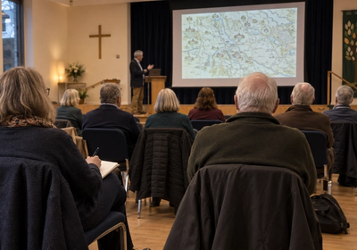
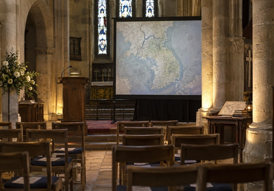
John Haywood takes a map-led look at the centuries when Europe was remade after the Roman Empire. The illustrated talk follows AD 476 to 1000, tracing the spread of Christianity, the emergence of Islam, the rise and fall of kingdoms and the beginnings of modern Europe through specially commissioned maps.
No age guidance is published, so check with the organiser if you are booking for children. Both performances are sold out, but waiting lists are available for returned tickets.
Corinium Museum has level accessible entry, several accessible toilets and two disabled parking spaces outside. Old Station, Brewery, Sheep Street and Abbey Grounds are the nearest car parks, while Kemble is the nearest railway station with buses and taxis serving Cirencester.
Ticketed. Both performances are sold out; join the waiting list.
Tuesday 27 October 2026 · Corinium Museum, Park Street, Cirencester, Gloucestershire GL7 2BX · Doors 11.40am and 1.45pm, performances 12pm to 1pm and 2pm to 3pm
Nearby
Share this event
Coming up
Every Thursday
Events, food, walks, and what's worth knowing — free every Thursday.
Growing every week · No spam